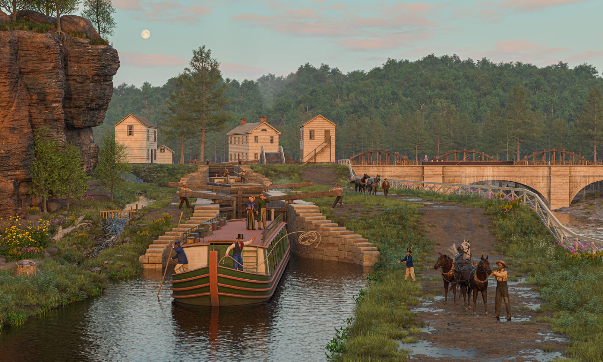
Welcome to 40x4x28, a visual exploration of the most consequential public infrastructure project in American history. The Erie Canal, originally completed nearly 200 years ago, forever altered the face and character of the United States. These landscapes capture glimpses of places along its path at specific moments in time.
I’m pleased to announce the opening of our online store, where you can purchase high-quality prints of these Erie Canal scenes. Fine-art giclée prints, made with fade-resistant inks on archival paper, are available in unmounted and framed versions. Large (24×17) and small (19×13) posters, printed on photo satin paper, are also available. I appreciate your support!
And please check out my blog, which documents my research and work in progress.